Haflin Creek Hike

Table of contents
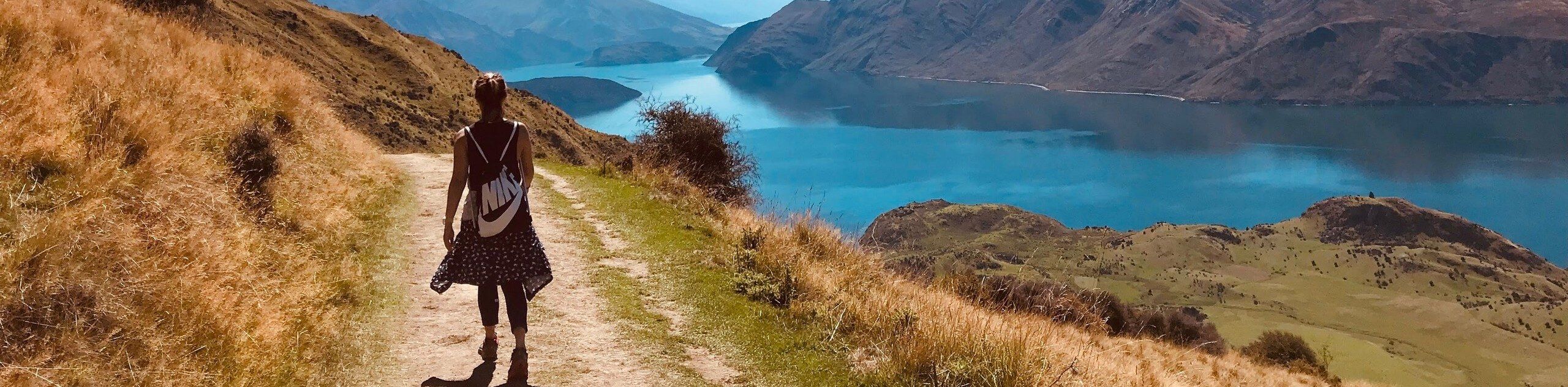
The Haflin Creek Hike is a tough excursion near Durango, Colorado that features plenty of steep terrain and beautifully scenic views. While out hiking the trail, you will climb uphill along a series of switchbacks through Haflin Canyon, gaining a good amount of elevation for some incredible views of the surrounding San Juan Mountains and the Animas River Valley. The route may be tough, but the stunning views are a great reward for your effort.
Route Description for Haflin Creek Hike
Featuring gorgeous views of the surrounding San Juan Mountains, the Haflin Creek Hike is a great option if you are based in the Durango area and want to push yourself on a challenging route with fairly steep inclines along the trail.
Setting out from the trailhead, you will head to the southeast through the tree cover and into the rocky landscape of Haflin Canyon. Here, you will turn back to the north and begin climbing uphill, working your way through a series of steep switchbacks that will see you gain a lot of elevation above the canyon.
After working your way uphill along the banks of Haflin Creek and taking in the beautiful views of the canyon landscape surrounding you, you will make the final push uphill to the endpoint of the route at the junction with the Missionary Ridge Trail. Once you have taken in the views, carefully work your way back through the canyon along the same route to return to the trailhead.
Getting to the Haflin Creek Hike Trailhead
The trailhead for the Haflin Creek Hike can be found along County Road 250 at the Haflin Canyon parking area, just 8.4 km north of Durango.
Route Information
Backcountry Campground:
No
When to do:
March-November
Pets allowed:
Yes
Family friendly:
No
Route Signage:
Average
Crowd Levels:
Moderate
Route Type:
Out and back
Haflin Creek Hike Elevation Graph
Weather Forecast
Check Area WeatherReviews
WE ARE HERE TO HELP
Let someone else do the hard work, book a custom tour in over 85 countries.
Chat with us on our contact page or fill out the form below!
Nearby Trails
Skyline Trail from Jenkins Ranch Road
San Juan Mountain Range
Sailing Hawks Loop Trail
San Juan Mountain Range
First Fork Trail
San Juan Mountain Range
Animas Overlook Trail
San Juan Mountain Range
Perins Peak Hike
San Juan Mountain Range
Church Camp Trail
San Juan Mountain Range

Colorado Trail to Gudy’s Rest
San Juan Mountain Range
Animas Mountain Trail
San Juan Mountain Range
Soaring Hawks Hike
San Juan Mountain Range
Animas River Trail
San Juan Mountain Range
Dry Fork Loop Trail
San Juan Mountain Range
The Ridge Trail
Sedona