West Witton to Penhill Walk

Table of contents
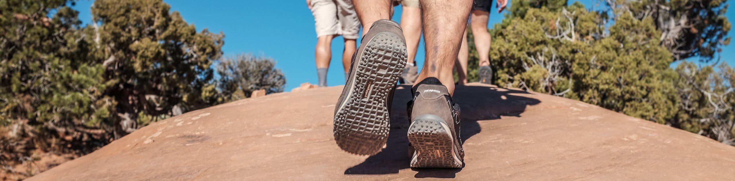
The West Witton to Penhill Walk is a beautifully scenic, but challenging at times, trail that will take you up the hillside for gorgeous views of the surrounding landscape. While out on the trail, you will climb up the steep terrain to the plateau along the Height of Hazely before descending the hillside to pass by the Penhill Preceptory, a place that once served as a rest stop for knights travelling to the Holy Land during The Crusades. This is a great route full of natural beauty and unique historical sites.
Route Description for West Witton to Penhill Walk
For those walkers that don’t mind a bit of a challenge in the form of steep uphill climbs, the West Witton to Penhill Walk will produce dividends, allowing you to experience the natural beauty of Yorkshire Dales National Park, in addition to a unique historical site along the latter half of the trail.
Setting out from the trailhead in West Witton, you will make your way west for a short distance along the road, before turning to the south to begin the climb through the countryside. This portion of the walk features some fairly steep sections of trail, so take your time and focus on the beautiful scenery as you work your way uphill. After reaching a plateau at the hilltop known as the Height of Hazely, you will enjoy breathtaking views over the rolling green countryside, charming villages, and winding rivers that characterize the landscape.
After taking in the views, you will make your way downhill to the northwest, carefully traversing the steep terrain until you arrive at the historic remnants of the Penhill Preceptory. Stone walls and small stone coffins are all that remain of a rest stop that was built by the Knights Templar and used by crusading knights travelling to the Holy Land. From here, you will make your way to the east across the countryside, eventually arriving back in West Witton where you began your adventure.
Getting to the West Witton to Penhill Walk Trailhead
To reach the trailhead for the West Witton to Penhill Walk from Leyburn, drive to the southwest for 5.8 km along Wensley Road. You will have to locate parking somewhere in the village.
Route Information
Backcountry Campground:
No
When to do:
March-November
Pets allowed:
Yes - On Leash
Family friendly:
Older Children only
Route Signage:
Average
Crowd Levels:
Moderate
Route Type:
Circuit
West Witton to Penhill Walk Elevation Graph
Weather Forecast
Check Area WeatherReviews
WE ARE HERE TO HELP
Let someone else do the hard work, book a custom tour in over 85 countries.
Chat with us on our contact page or fill out the form below!
Nearby Trails

Reeth Round Walk
Yorkshire Dales National Park
Middleham Gallops Walk
Yorkshire Dales National Park

Aysgarth Woods and Waterfalls Circular Walk
Yorkshire Dales National Park

Aysgarth to Castle Bolton Walk
Yorkshire Dales National Park

West Witton to Aysgarth Circular Walk
Yorkshire Dales National Park

Reeth Low Common Walk
Yorkshire Dales National Park

Leyburn and Wensley Walk
Yorkshire Dales National Park

Reeth to Arkengarthdale Walk
Yorkshire Dales National Park

Aysgarth and West Burton Falls Walk
Yorkshire Dales National Park

Leyburn and Harmby Circular Walk
Yorkshire Dales National Park

Aysgarth Falls Circular Walk
Yorkshire Dales National Park
Thornton Steward Circular Walk
Nidderdale AONB